
Muskego ZIP Directory Coverage
The five-digit code 53150 is the core Muskego postal reference documented by USPS association data and Waukesha County’s ADRC service-area table. That does not turn the ZIP into a city boundary. USPS delivery material also places several nearby codes in association tables, but those rows describe mail operations. Each street address still needs direct verification.
| ZIP Code | Areas Covered | Post Office | Notes |
|---|---|---|---|
| 53150 | Core Muskego postal reference | Muskego, WI | County ADRC lists it for the city; verify each address with USPS |
| 53103 | Big Bend-area postal code in association material | Big Bend-area context | May overlap the broader local area; no authoritative parcel boundary was found |
| 53168, 53170 | Nearby delivery-association entries | Check USPS result | Association does not prove City of Muskego residence |
| 53182, 53185 | Nearby delivery-association entries | Check USPS result | Use full address, parcel, and municipality to resolve |
No authoritative parcel-level Muskego ZIP boundary layer was found in the reviewed county and USPS sources. For that reason, the coverage table stays narrow. It does not invent neighborhoods or claim that every associated code serves land inside the city. The official USPS ZIP Code Lookup is the current source for a specific mailing address.
Search Muskego ZIP Fields
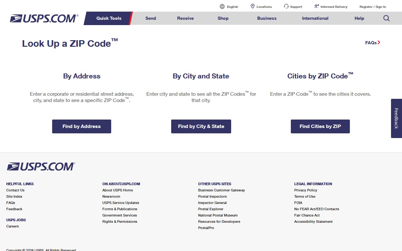
USPS offers three practical lookup modes. Use By Address when a street line is known. By City and State helps confirm a postal city, while Cities by ZIP identifies the city names associated with a code. A result may show several matches or ask for a unit. USPS also warns that its answer does not confirm a person or company at that address.
| USPS mode | Input | What it resolves | Limit |
|---|---|---|---|
| By Address | Company, street, city, state or ZIP | Standard mailing address and ZIP | May need unit or more detail |
| By City and State | City and state | ZIP codes tied to that postal city | Not a municipal boundary list |
| Cities by ZIP | Five-digit ZIP | Associated city names | Does not establish occupancy |
The official USPS lookup screen shows these controls.
Copy the result exactly, including the unit and directional grid prefix, before moving to county records. A missing prefix can turn a good ZIP code search into a false no-match.
Muskego ZIP Grid Addresses
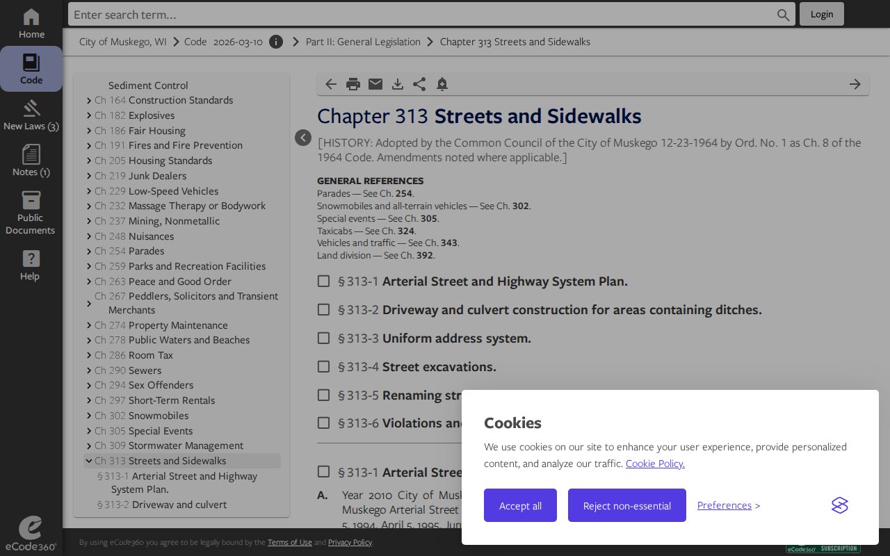
Muskego adopted its uniform address system in 1982. The city’s Chapter 313 address rules assign a key role to the Building Inspector, who maintains the plat book and assigns addresses based on frontage or driveway centerline. That history explains local forms such as S73W16663 W. Janesville Road. The S and W parts are not decoration. They identify the directional grid.
The Muskego addressing code screen preserves the municipal rules behind those forms.
Older records may use a rural route, township term, lake name, or road label from before the grid. Keep that old form beside the normalized USPS result. Then use a tax key or legal description to test whether both labels point to the same parcel.
Find Muskego Residents by ZIP
Neither the Waukesha County Tax Listing nor MyVote offers a public, open-ended resident list by ZIP. The county tax portal accepts an address or tax key, and MyVote requires a voter’s first name, last name, and date of birth for self-service. The sound workflow narrows a known address and then checks the right custodian.
- Enter the full street and unit in USPS By Address, then save the exact postal result.
- Search that grid address in the Waukesha County Tax Listing. If needed, try the grid number without the road.
- Record the tax key, municipality, legal description, and parcel map link shown for the parcel.
- Use the legal description in the Register of Deeds index if the research calls for recorded land history.
- If the postal city and municipality conflict, report both with their sources rather than choosing one silently.
The ZIP code directory narrows geography. It cannot prove who occupies a home, and a parcel owner may live elsewhere. Once a result reaches a known road, the Muskego street directory explains the street-level record path.
Bridge Muskego ZIPs to Parcels
County parcel data is the bridge from a mailing label to legal land. The Tax Listing exposes a simple address or tax-key search plus Advanced Search, Match On, Addresses or Tax Keys, Match Type, historical results, and personal-property controls. No ZIP filter was found, so do not promise one. A tax-key search drops spaces and punctuation.
The Waukesha County Tax Listing can return property and tax-bill details linked to a parcel. County guidance warns that local and county databases update on different cycles and are not guaranteed accurate. For a disputed line, use a recorded plat, survey, or other certified source rather than the informational map.
Waukesha’s Interactive Map supplies geographic context and parcel links. It is useful when the postal city does not match the municipality, but it is not itself a certified survey.
When the address still fails, contact the municipal addressing office for the assigned form. Muskego’s Building Inspector maintains address information under the city code. For recorded land, the Waukesha County Register of Deeds offers online indexing, office service, and mail requests. The recorded legal description, not the postal code, is the durable bridge into deeds, plats, mortgages, and easements.
Muskego ZIPs Versus City Limits
USPS routes mail, the city assigns addresses, the county maps parcels, and the assessor maintains tax data. Their work overlaps, but their borders do not serve the same purpose. A 53150 city line is not enough to prove a parcel lies inside Muskego. Likewise, land inside the city can carry a nearby mailing city or ZIP when delivery routes require it.
- ZIP and ZIP+4
- The first five digits identify a delivery area; four added digits narrow delivery more precisely.
- PO-box ZIP
- A code used for post-office boxes rather than a mapped set of home parcels.
- Unique ZIP
- A code assigned to one large recipient or institution, not a neighborhood.
- Carrier route
- The USPS route used to deliver a group of addresses.
A ZIP+4 or carrier route improves delivery precision but still does not prove occupancy. For a voting ward, use the clerk or election system. For parcel limits, use a recorded plat or survey. For a historic place name, use maps and archives. The Muskego ZIP code directory keeps those purposes separate.
The Muskego ZIP Directory Myth
A common mistake is to treat “Muskego” in a mailing address as legal proof that the site is within the City of Muskego. USPS association tables are not parcel maps. County service-area tables also group codes for program administration and should not be read as legal boundaries.
The reverse error also occurs. A parcel can sit inside Muskego while its mailing line reflects another postal operation. When sources disagree, save the USPS result, tax-key result, map context, and city address record with the date checked. That evidence explains the mismatch without making a claim about a person.
Does a ZIP identify a current resident? No. It describes delivery geography. A dated official record may connect a name to an address for a specific purpose, but the ZIP alone does not.
Muskego ZIP Plus Four Detail
The USPS Address Information System Viewer offers City/State, County Name, Delivery Statistics, ZIP+4, and Address Lookup products. USPS reports monthly updates. Address Lookup can return a five-digit ZIP, ZIP+4, carrier route, county, delivery point, and check digit. The service is aimed at subscription data users; address lookup is free with one of the other products.
Those extra fields help normalize a mailing line. They do not turn the tool into a person locator. Keep the date of the result because delivery data changes. For an old Muskego address, retain the original road or township wording as well as the current result so the historical trail is not lost.
Note: Use current USPS tools for present verification; historic Postmaster Finder fields are not a substitute for current ZIP data.
Muskego ZIP Boundary Records
Start with the question. Delivery questions belong with USPS. The City of Muskego or its Building Inspector handles address assignment. Waukesha County parcel and tax tools establish the mapped parcel context, while the Register of Deeds holds recorded instruments. MyVote handles a voter’s self-service registration check using required identity details.
Historic research needs another layer. A pre-1982 source may use a rural route or lake name, and a pre-1964 source may refer to the town rather than the city. Search Little Muskego Lake, Big Muskego Lake, Denoon Lake, Tess Corners, Muskego Centre, and Pioneer Drive when those terms fit the date. Then reconcile the old label with a map, plat, or legal description.
Public records must be used for lawful personal research. Do not republish a protected address or use a directory result to harass anyone. Wisconsin’s protected voter fields and address-confidentiality safeguards remain in force even when other parts of a record are public.