
Walk a Muskego Street Search
Begin with the address exactly as written. Muskego uses a directional grid, so every S or W prefix can affect the match. The goal is to turn the address into a tax key and legal description, then carry those stable identifiers across county systems.
- Normalize the delivery line with the USPS ZIP Code Lookup.
- Enter it in the Waukesha County Tax Listing and save the tax key, municipality, and legal description.
- Open the parcel in the county interactive map.
- Use the legal description in the Register of Deeds search.
- For a dated household question, consult directories, census records, and archives.
This sequence separates postal delivery, parcel identity, ownership, and occupancy. State only what each source supports.
Decode Muskego Grid Streets
Muskego Code Chapter 313 adopts the Waukesha County grid. Its east-west baseline continues the Milwaukee County baseline and is designated 1. The eastern county line is the north-south baseline, designated 124. Letters describe position relative to those lines. Curved streets and cul-de-sacs use their main direction.
A form such as S73W16663 W Janesville Road is useful data. The S and W values locate the site within the grid. If a tax search fails, the county says the grid number may work without the street name. Keep both forms.
Grid tip. Keep every directional prefix in a Muskego street search, then test the grid number alone if the full form fails.
Muskego Street Directory Fields
County interfaces accept different inputs. The tax portal is the best first stop because its simple box accepts an address or tax key. Exact choices hidden in dropdowns should not be guessed.
| Interface | Fields | Use |
|---|---|---|
| Tax Listing simple | Tax key or address | First parcel match |
| Tax Listing advanced | Match On; Addresses or Tax Keys; Match Type; history boxes | Broader review |
| Parcel inquiry | Tax Key; House Number; Direction; Street Name | Alternate lookup |
| GIS | Parcel layers and map controls | Map context |
| Deed index | Instrument; book/page; subdivision; condo; metes and bounds; CSM | Document trail |
Tax keys omit spaces and punctuation. A result may show a situs address, which means the physical parcel address, plus municipality, legal description, parcel link, assessment, and tax detail.
Muskego Records Found by Address
No official roll answers who lives on every Muskego street. Waukesha County permits owner names when attached to a parcel found by address, but it does not offer remote owner-name searching.
| Record | What it shows | What it cannot prove |
|---|---|---|
| Tax listing | Address, tax key, legal description, assessment | Certified title or occupancy |
| GIS | Parcel shape, roads, layers | Surveyed boundary |
| Deed or plat | Recorded land history | Residence |
| City code | Address and naming rules | Household roster |
| USPS | Delivery city and ZIP | Municipal limits |
| Directory | Dated address or phone entry | Continuous presence |
A source may list a person or entity at a date. For historical collections, consult the Muskego city directories page.
Map Muskego Parcels by Street
The Land Information System shows parcel relationships, road frontage, layers, and links back to parcel data. It helps on lake roads, farms, curves, and subdivisions where a mailing line does not explain the land division.
The official GIS page carries the accuracy warning.
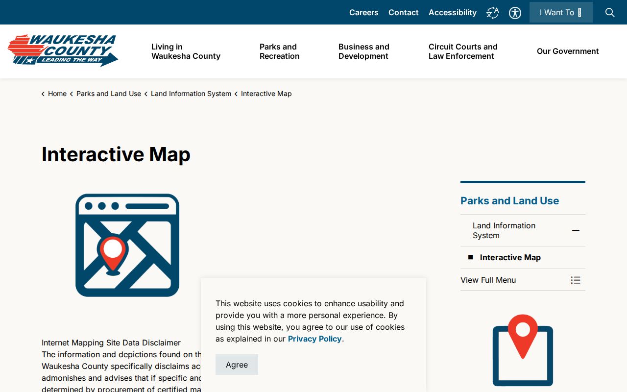
The image shows the county gateway, not a certified boundary. Use a recorded plat, certified survey, or licensed surveyor when an exact line matters. County and local systems can update at different times, so note the search date.
Muskego Assigns Street Numbers
Muskego places a platted-lot address at the center of frontage. For acreage and farm parcels, it uses the driveway centerline at the road right-of-way. The Building Inspector assigns addresses and maintains the plat book. New sites receive an assignment within 30 days after subdivision approval, followed by a marker requirement.
This explains why a driveway, parcel center, mailing label, and legal description may look misaligned. A parcel is a unit of land. A plat is the recorded drawing of lots, roads, and related rights.
Note: An address point locates access to land, but it does not settle title, boundaries, or current occupancy.
Follow Muskego Streets Into Deeds
The Register of Deeds keeps deeds, mortgages, plats, and easements. Indexing is complete from January 1, 1994, while images reach early volumes. Earlier research may require tract, subdivision, condominium, book/page, or office tools. Certified copies come from the office in person or by mail.
A Certified Survey Map, or CSM, has no dedicated county index, so begin with the original legal description. Short instrument and book/page values need leading zeroes.
The recorded-document portal is the next stop after finding a parcel.
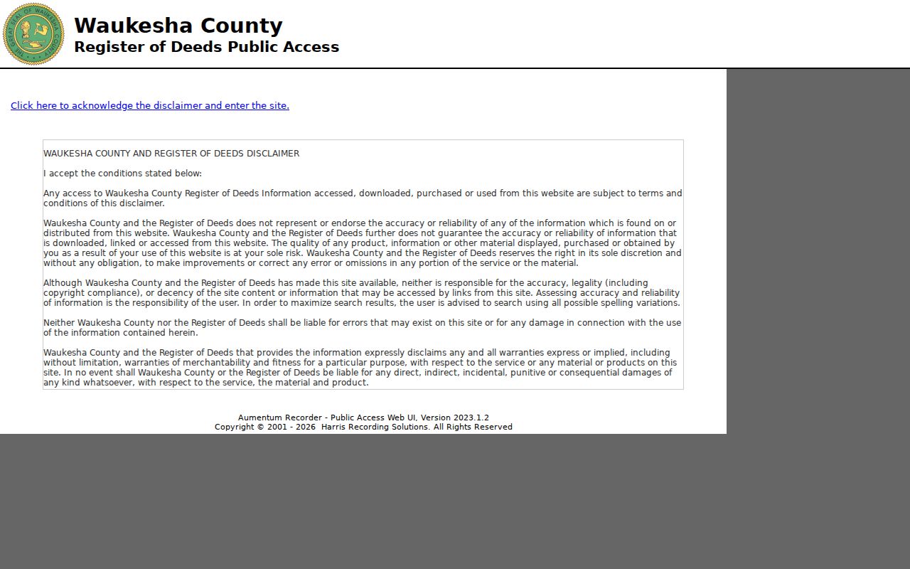
The captured search entry supports deed research, but an online image is not certified. Land-record staff can help at 262-548-7589 or 515 W. Moreland Boulevard, Room AC110, Waukesha.
Muskego Street Names Evolve
Muskego adopted its street chapter in 1964 and added the uniform address system in 1982. The latter is a documented grid milestone, not proof that all roads changed at once. Older evidence may use rural routes, township terms, lake names, Muskego Centre, or prior road forms.
A renaming petition needs at least half of owners along the street and a Common Council resolution. A subdivision or CSM correction needs an affidavit recorded under Wisconsin Statute 236.295. Transcribe the old wording, search both forms, and bridge them through the modern tax key.
Research Older Muskego Streets
The Huelsman Family Research Center holds maps and plats from 1859 forward, early land records, deeds, abstracts, patents, and county directories. Muskego Public Library may help with local files, yearbooks, newspapers, and house history.
- Parcel
- Land identified by tax key and legal description.
- Situs address
- The physical property address.
- Plat
- A recorded map of lots and roads.
- Criss-cross directory
- A directory arranged by address or phone.
Selected Muskego telephone books exist, but no continuous Muskego city-directory run was verified. A gap calls for maps, deeds, census schedules, newspapers, and archive files, not an invented match.
Muskego Street Directory Limits
A parcel record names a recorded owner, not every household member. A deed may name a trustee, lender, firm, or owner who never lived there. USPS confirms delivery syntax, not Muskego city limits or occupancy.
MyVote is designed for a voter’s own search using first name, last name, and date of birth. Protected voter fields and confidential-elector addresses must not be republished. A Wisconsin public-records request may seek an existing plat, address-assignment, or street-name record, but an office need not create a resident list it does not keep.
Lawful use. Use Muskego address records for genealogy, property research, civic questions, and safety. Never stalk, harass, intimidate, or expose a protected address.
Record the source, date, identifier, and exact wording behind each conclusion. This keeps a street directory match from becoming an unsupported claim about a person.
Request Muskego Street Records
When online street directory tools stop short, choose the office by record type. The Register of Deeds provides land documents at its public counter and by mail as well as online. Certified copies use the counter or mail route. Staff can explain the index, but they do not conduct a title search, decide acreage, settle boundaries, or guarantee a sale price.
The Land Information System supplies tax and GIS data, while address assignment remains a City of Muskego task. A street-name ordinance, address-assignment record, subdivision approval, or existing map dataset may be requested from the proper custodian under Wisconsin Public Records Law. A sound request names the record, date range, tax key, legal description, and preferred inspection or copy format. Wisconsin has no universal fixed response deadline, though access should come as soon as practicable and without delay.
The county election page points to MyVote and election results, but a Muskego street directory request should never demand protected voter fields. Ask the municipal clerk about an existing lawful record when public self-service cannot answer an election question. For historical address forms, contact Muskego Public Library, the Muskego Historical Society, or the Huelsman Family Research Center. Those institutions may hold maps and files that a current parcel portal was never designed to index.
At each handoff, preserve the original address and add the modern tax key instead of replacing the old wording. This gives archive staff and county staff two routes to the same place. It also keeps a failed web search from being mistaken for proof that no record exists.
Office access matters most for early documents, certified copies, and records that are not indexed by a modern street name. Bring the tax key, legal description, likely recording period, and any known book or page reference. Ask whether an older tract, subdivision, condominium, or paper index is the right route. If the request is mailed, state whether an ordinary or certified copy is needed and confirm the current cost before sending payment. A clear request reduces false matches between similar lots and keeps staff from having to infer which Muskego parcel is meant.
The same care applies to archived directories. Give the holding library a place, exact year range, and directory type. The Library of Congress notes that staff do not perform open-ended name searches and that directories were issued irregularly. A regional criss-cross volume can supply a clue, but its absence cannot establish that an address or resident was absent from Muskego.
Muskego street research can also move through city-held records when the parcel systems explain the land but not the address itself. Chapter 313 places address assignment and the plat book with the Building Inspector. For a new subdivision, large acreage parcel, street extension, or renamed road, ask for the existing address-assignment record, approved plat, ordinance, or related meeting item. The city assigns numbers from the regional baselines and uses the center of a lot frontage or driveway centerline under the rules described in the research. That detail can explain why two nearby homes have grid numbers that seem far apart. It can also show why an old road reference does not match the number now used for delivery. Keep any city response beside the county tax card and recorded plat. Each serves a different role: the city documents the assigned address, the county identifies the parcel, the Register of Deeds preserves the legal instrument, and USPS standardizes the mail line. Together they make the Muskego street directory trail much stronger than any single screen.