
Muskego Neighbors by Source
Public records describe the land and civic setting around a Muskego address more clearly than the people inside each home. The county GIS can reveal adjacent parcel shapes. Tax records can tie each address to a tax key and legal description. Plats and certified survey maps, called CSMs, explain lots, outlots, shared access, and easements. Community groups provide public news and contact routes, but no complete city association roster was found.
| Source | What It Shows About a Block | Access |
|---|---|---|
| County GIS | Parcel adjacency, roads, layers, and area context | Interactive map with disclaimer |
| Tax Listing | Tax key, address, legal description, and tax context | Address or tax-key search |
| Recorded plat or CSM | Lots, blocks, outlots, easements, and subdivisions | Register of Deeds index and images |
| City address records | Grid rules, street naming, and address assignment | Chapter 313 or records request |
| Community source | Events, rules, contact route, and some boundaries | Public association website |
A parcel-attached owner name is not an occupant roll. A mailing address may be different from the property address, and the county intentionally does not permit remote owner-name parcel searches. Use the map to understand the block, then inspect one parcel at a time. A certified survey, not an informational web map, resolves a legal boundary dispute.
The City of Muskego can fill another gap. Chapter 313 explains grid address rules, frontage and driveway assignment, and street naming. Public meeting records may document a subdivision approval, street change, or public project. A focused request for one plat, ordinance, address assignment, or meeting item is more useful than asking for all people on a block.
Viewing Muskego Adjacent Parcels
Open the Waukesha County Land Information System with one full grid address. Inspect the parcel polygon, road frontage, subdivision name, and links to the tax key or legal description. Then click outward one parcel at a time. A lot that looks adjacent can be split by a right-of-way, water, or a map artifact.
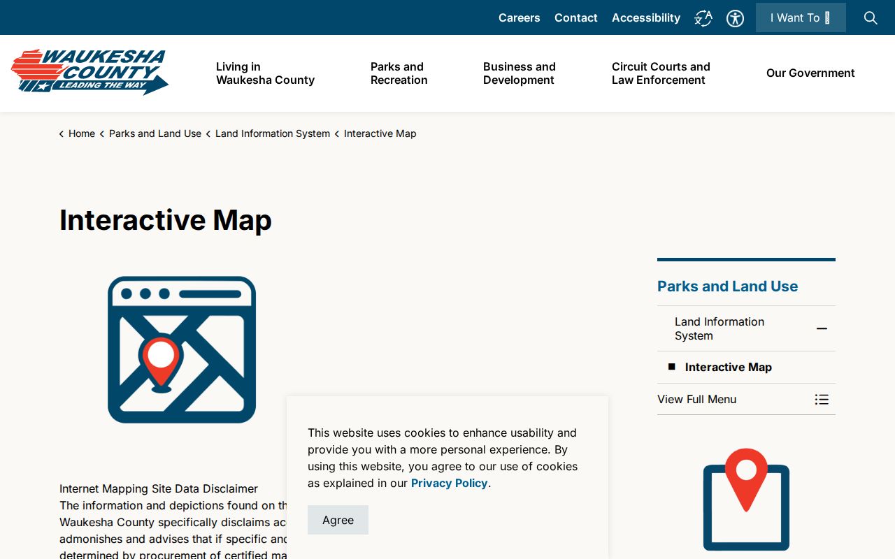
The county map is an informational viewer. It helps organize a Muskego neighbors search, but it is not a certified survey and should not settle a boundary. The official interface below shows the county access point used for local parcel context.
Record each tax key separately. Do not infer that two parcels share an owner, driveway, or municipality merely because their map shapes touch.
Tax Listing search is strongest with the exact address or tax key. No ZIP filter was found in the inspected county interface. Once the listing returns a parcel, compare its municipality and legal description with the GIS label. The owner's mailing line may differ from the situs address, meaning the physical location of the parcel. That difference is normal and does not show whether the owner occupies the site.
Map a Muskego Block
Move from the map to records that can be cited. The tax key and legal description are more stable than a casual map label. They connect the county tax listing, recorded plat, deed index, and city address file without turning the search into a name scrape.
- Normalize the complete S and W grid address, including unit details when present.
- Find the starting polygon in county GIS and note roads, water, rights-of-way, and adjoining lots.
- Open each nearby parcel by tax key in the Tax Listing and save its legal description.
- Search the recorded plat, CSM, easement, or covenant when the legal relationship matters.
- Request an address assignment, street ordinance, or public meeting record from the city when the map leaves a gap.
That process answers a radius question while keeping each lot distinct. For a full named-road chain, the Muskego street directory follows addresses along the entire street. A block lookup should stay focused on the immediate parcel relationships.
Muskego Plats Explain Neighbors
Recorded documents can explain why two addresses appear connected. A plat lays out lots and blocks in a subdivision. A CSM divides or describes land outside a larger plat. Easements may cover a shared driveway, access route, drainage, or utilities. Condominium records can identify units, buildings, and limited common elements without saying who occupies each unit.
Search the subdivision or CSM for each lot and outlot. If an image seems incomplete, keep its document number, book and page, and surrounding image context. The Register of Deeds index can point to the instrument, while office or mail service provides copies and certification. The county cannot turn an informational map into a survey.
Recording Notification Service, or RNS, offers a free alert when a document is recorded against a subscribed name or parcel. It can warn an owner about an unexpected filing, but it does not reveal neighbors, replace title insurance, or remove a fraudulent instrument. The county cannot erase a recording without a court order. Use RNS for the parcel being protected, not as a watch tool for the block.
Muskego Postal Lines Mislead
A Muskego mailing city or ZIP code does not establish City of Muskego residence. USPS delivery routes, city limits, parcels, and voting wards serve different purposes. One apparent neighbor may share the postal city but sit in another municipality. Another city parcel may use an unexpected mailing label. Confirm the full street address with USPS, then use the tax key and municipal field for the parcel.
Local myth. The core 53150 postal reference is useful for mail, but it is not a legal outline of Muskego or proof of occupancy.
The directional grid adds another trap. Dropping the S or W prefix can produce a failed or wrong match. Muskego added its uniform address system in 1982, and the city assigns parcel addresses based on frontage or driveway centerline. Older neighborhood sources may use rural routes, lake names, or prior road labels.
Muskego Community Contact Routes
Local groups can answer questions about events, common rules, and public neighborhood news. They should not be treated as resident directories. No complete city-maintained inventory of Muskego neighborhood associations was located, so use verified public contacts and do not assume membership.
Champions Village HOA
Champions Village lists S97W13172 Champions Drive and offers new-resident, home-closing, news, and community contact routes. It does not publish a member roster.
Lake Forest HOA
Lake Forest HOA lists P.O. Box 541, Muskego, WI 53150 and public social information. No public member directory was found.
Muskego Area Chamber
The chamber's community material describes local communities and business members. Its directory is a business resource, not a list of Muskego neighbors.
A contact form can open a conversation without exposing names. Ask the group whether it covers the address and what public rules or notices are available.
Association lines may follow a recorded subdivision, condominium declaration, or another private boundary that differs from the postal neighborhood name. Obtain the governing plat or declaration if the boundary matters. Public news can show an event or project, but it cannot establish that every nearby household belongs to the group or agrees with it.
Muskego Voter Block Limits
MyVote Wisconsin is an individual self-service check that requires first name, last name, and date of birth. The statutory registration list is a separate record governed by Wis. Stat. §6.36. Public display excludes birth date, driver-license and Social Security data, ID serial numbers, and accommodation fields. Confidential electors receive additional protection.
Registration means election context, not that a person currently occupies a nearby home. Address changes, same-day registration, maintenance, and confidential records all affect what appears. For a lawful block-level civic project, contact the Muskego clerk or Wisconsin Elections Commission about current access procedure rather than copying individual MyVote screens.
County election result pages answer a different question: how a race was reported. Polling places and wards also have administrative purposes and can change. Neither source is a household directory. When a parcel, postal address, and voting district disagree, cite the custodian for each label and do not force them into one boundary.
Muskego Official Records Compared
Official sources and commercial neighbor tools solve different problems. The official route is slower because each custodian limits its record to a clear purpose. That separation also makes sources, dates, corrections, and protected fields easier to track.
Official records
Parcel maps, tax keys, plats, ordinances, and public association contacts identify the record holder and the date. They distinguish ownership from occupancy.
Commercial tools
Compiled listings may merge stale addresses, relatives, and same-name people. They should not replace a deed, tax key, court file, survey, or direct contact.
For Muskego neighbors, a small set of cited parcel facts is more useful than a large unsourced profile. Check the custodian again before treating any item as current.
The strongest notes preserve the input address, directional prefix, tax key, map date, document number, and source URL. They also state what remains unknown. If the record shows ownership, call it ownership. If it shows an easement, describe the access right. Avoid upgrading either fact into a claim about personal relationships between neighbors.
Muskego Neighbor Privacy Limits
Parcel records do not identify every occupant, family member, visitor, or other person at an address. Waukesha County allows an owner name to appear with an individually selected parcel, yet does not permit remote owner-name searching because of privacy concerns. Utility and private delivery data are not a public block directory. A public association contact does not prove membership.
Wisconsin Safe at Home, under Wis. Stat. §165.68, gives qualifying people a substitute address and mail forwarding while protecting their actual location. Confidential-elector rules can also keep an actual address from disclosure. Never republish a protected location or try to defeat those controls. Ask the custodian to correct its source when a parcel or public record is wrong.
Lawful use. Research Muskego neighbors for civic context, a shared parcel question, reconnection, or personal safety. Never use public records to watch, harass, intimidate, or expose another person.